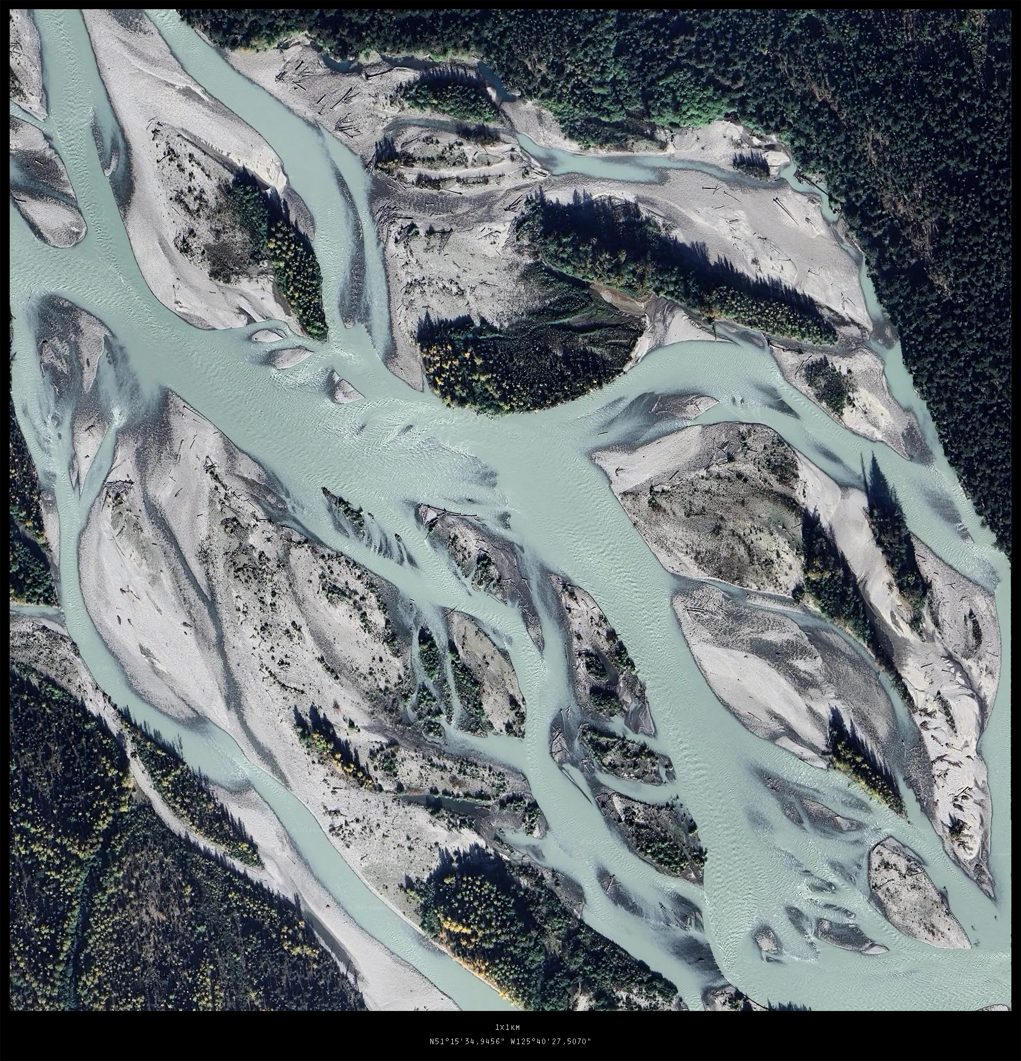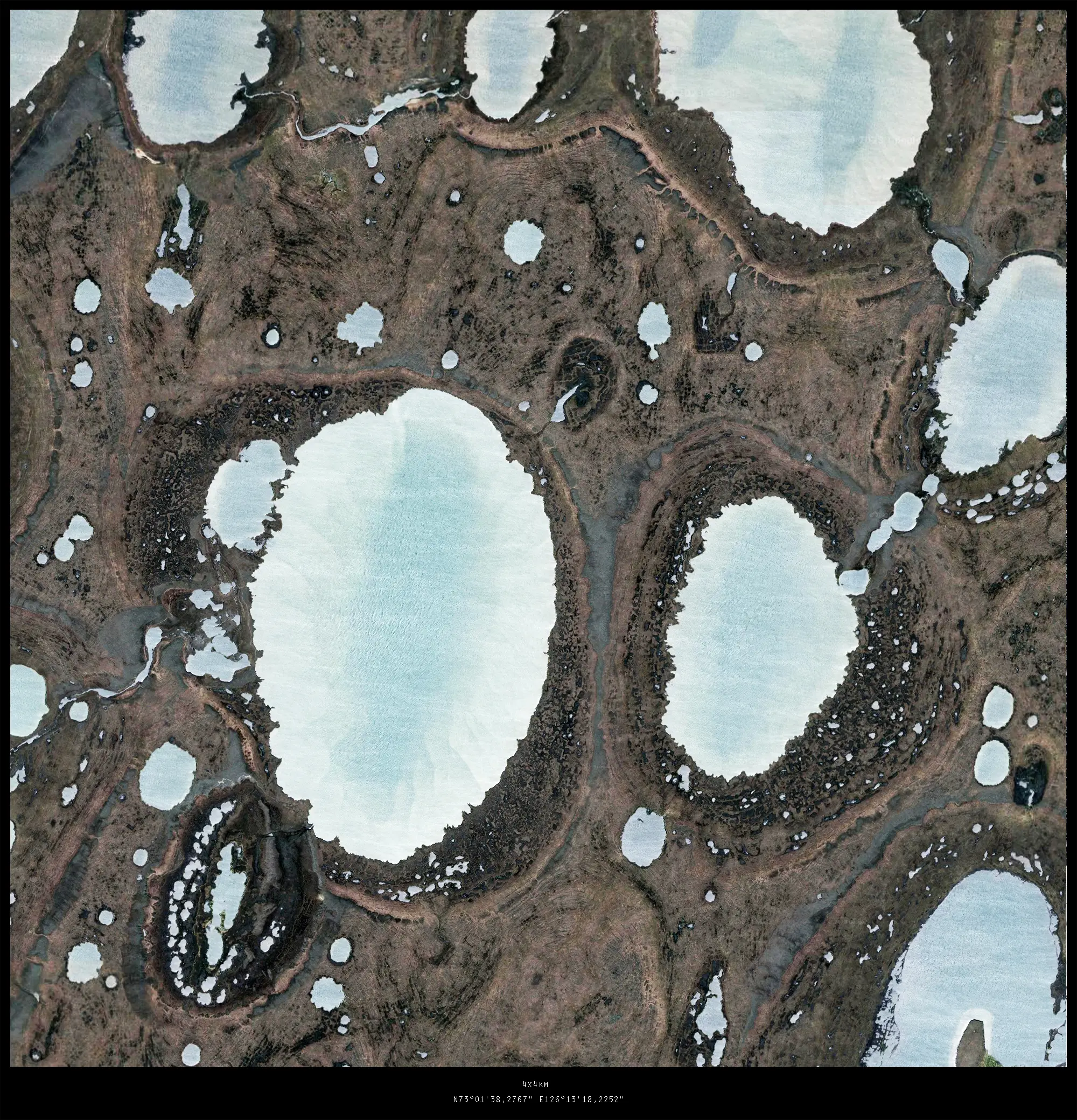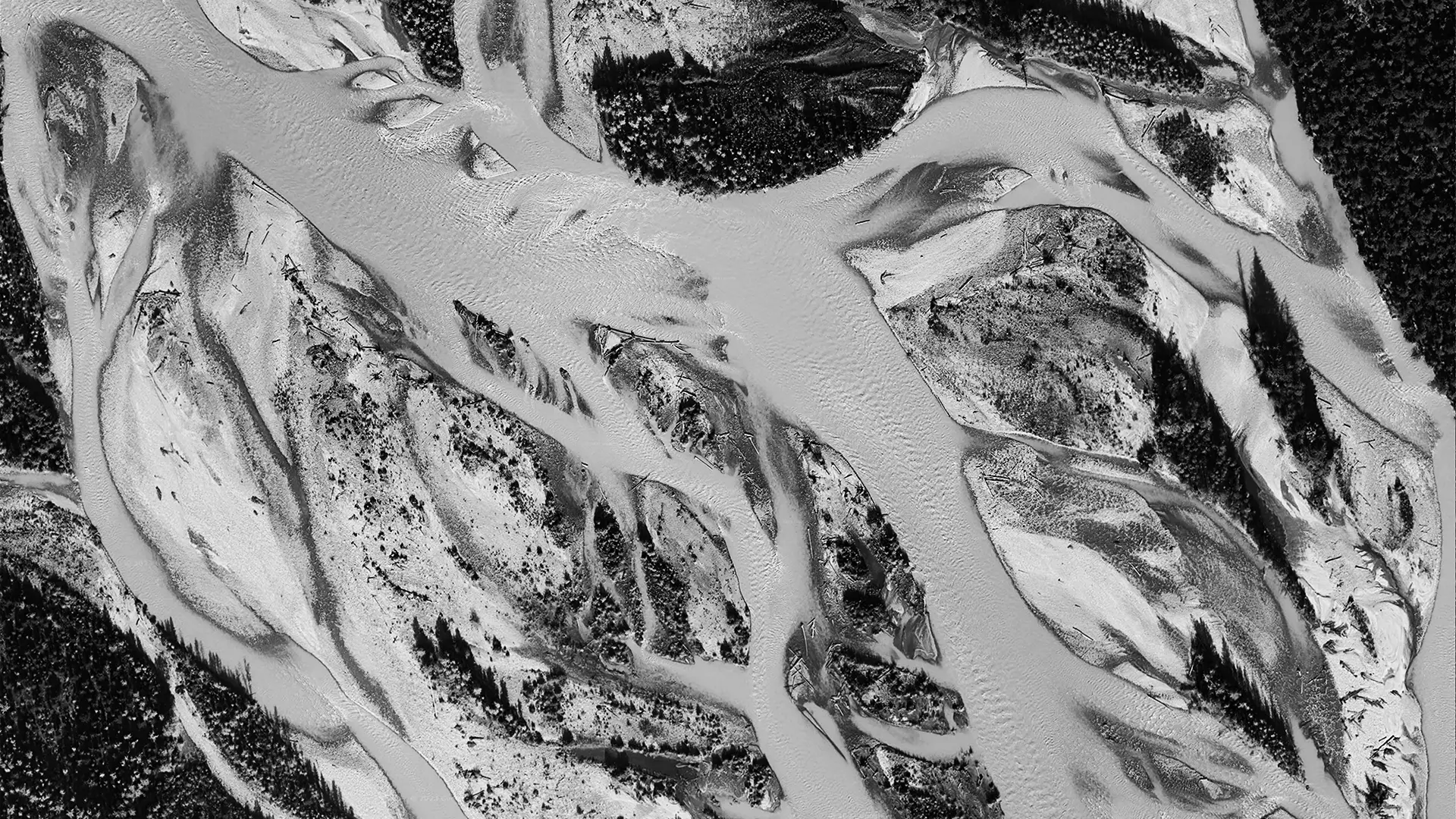
Research | Patterns
Aquatic Morphologies
August 2023"Aquatic Morphologies" is a exploration of landscape patterns through high resolution satellite images. The selected areas (marked with their geo-locations) depict a set of landscapes which have been altered by hydrologic processes. Decisive for the emergence of these morphologies are processes like erosion , sedimentation, soil composition etc.